I could say this with confidence because Young Archivists had found them before, and left breadcrumbs through Paganel Archives catalogue, but good questions always lead to more – about the war years in school, and when we go outside to find the shelters, a deeper look, reading the photos we have. Some of the maps, photos and questions below:
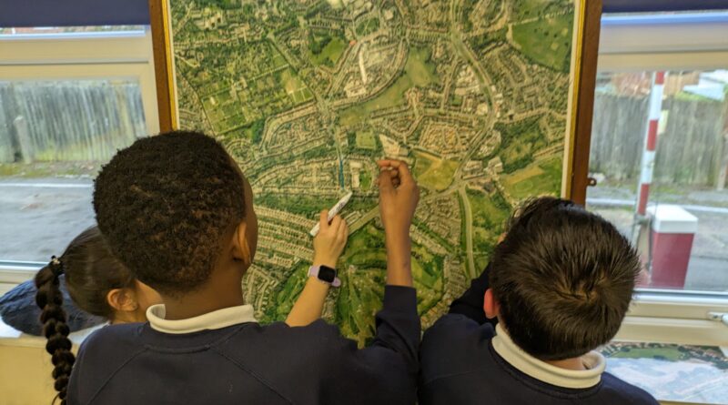
Children for 1950s playing in the sand pit – where is the sandpit?Found it from the houses in the background. Photo shows where the sandpit wasOld after-school club building 2019 before demolitionIn the old archive room discovering mapsMapping stories and places on our arial photo, 2013Only ‘Stonehouse’ and ‘Weoley Castle marked on a map from 1800Early twentieth century map showing location of the school to be, the brickworks and boundary treeBrickworks looking towards Paganel Primary, boundary tree is just visible over the housetopsArial photo paganel primary in the late 1990s, showing the boundary treesThe field boundary tree 2016 , older than Paganel school, before it was chopped in 2018Sad demise of the treeWorkmen have a break while children play in the playgroundStark reminder of the tree, chopped in June 2018